

Target projection
Use pitch and bearing to estimate where your line of sight intersects the ground.
Terrain-first hunting app
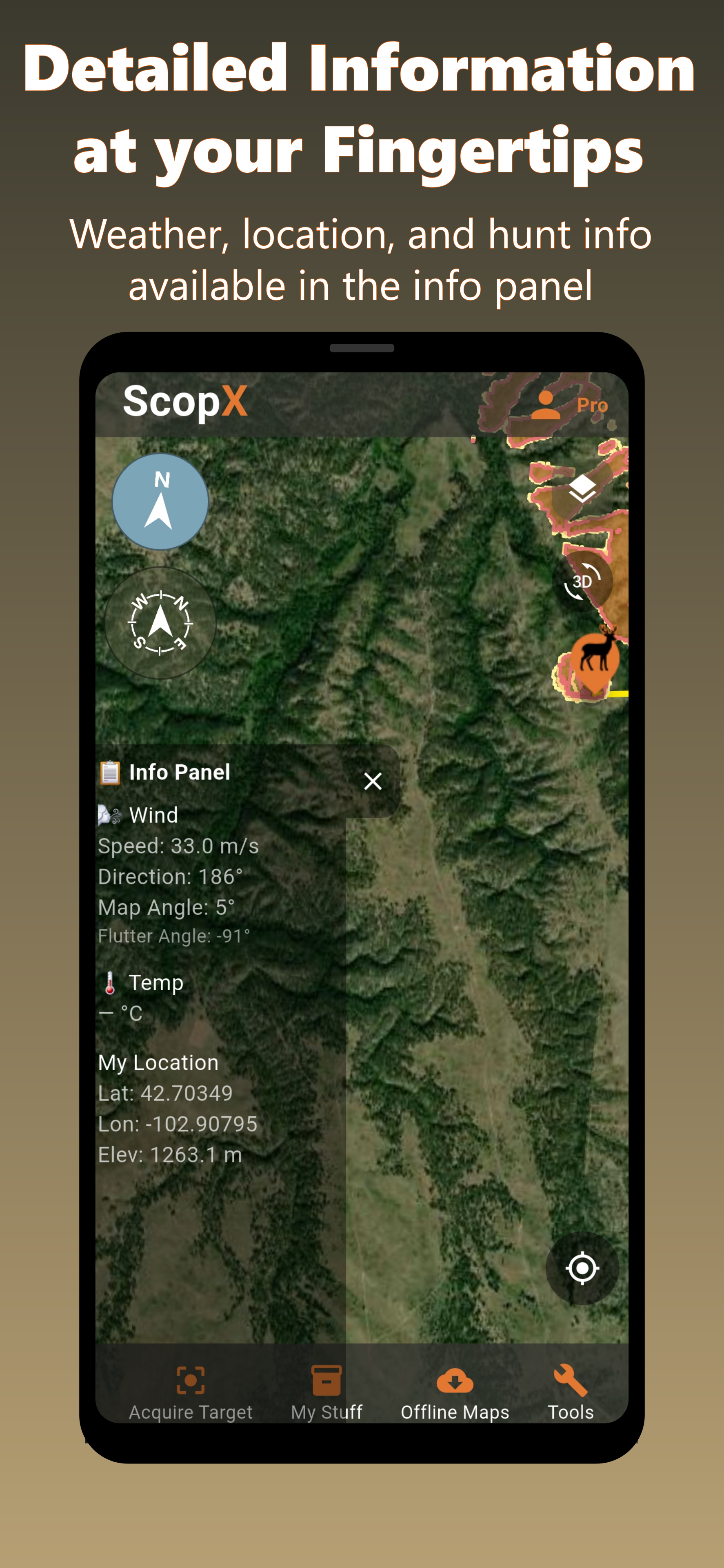
ScopX turns satellite terrain, elevation, wind, and animal sight zones into a practical plan for your next move.
Built around the stalk
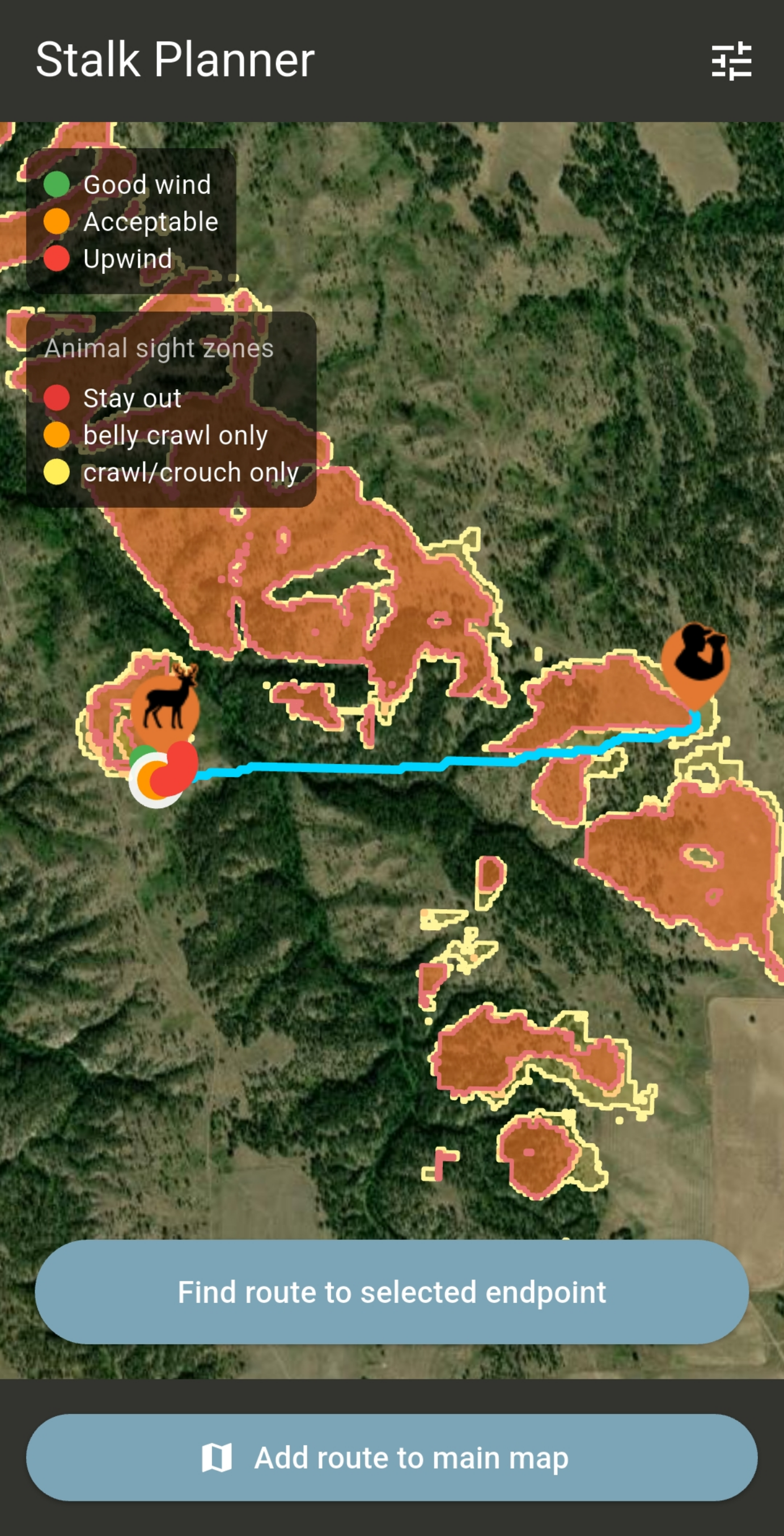
ScopX keeps the map practical: target markers, sight-zone overlays, wind state, and a route line you can evaluate before moving.
Use pitch and bearing to estimate where your line of sight intersects the ground.
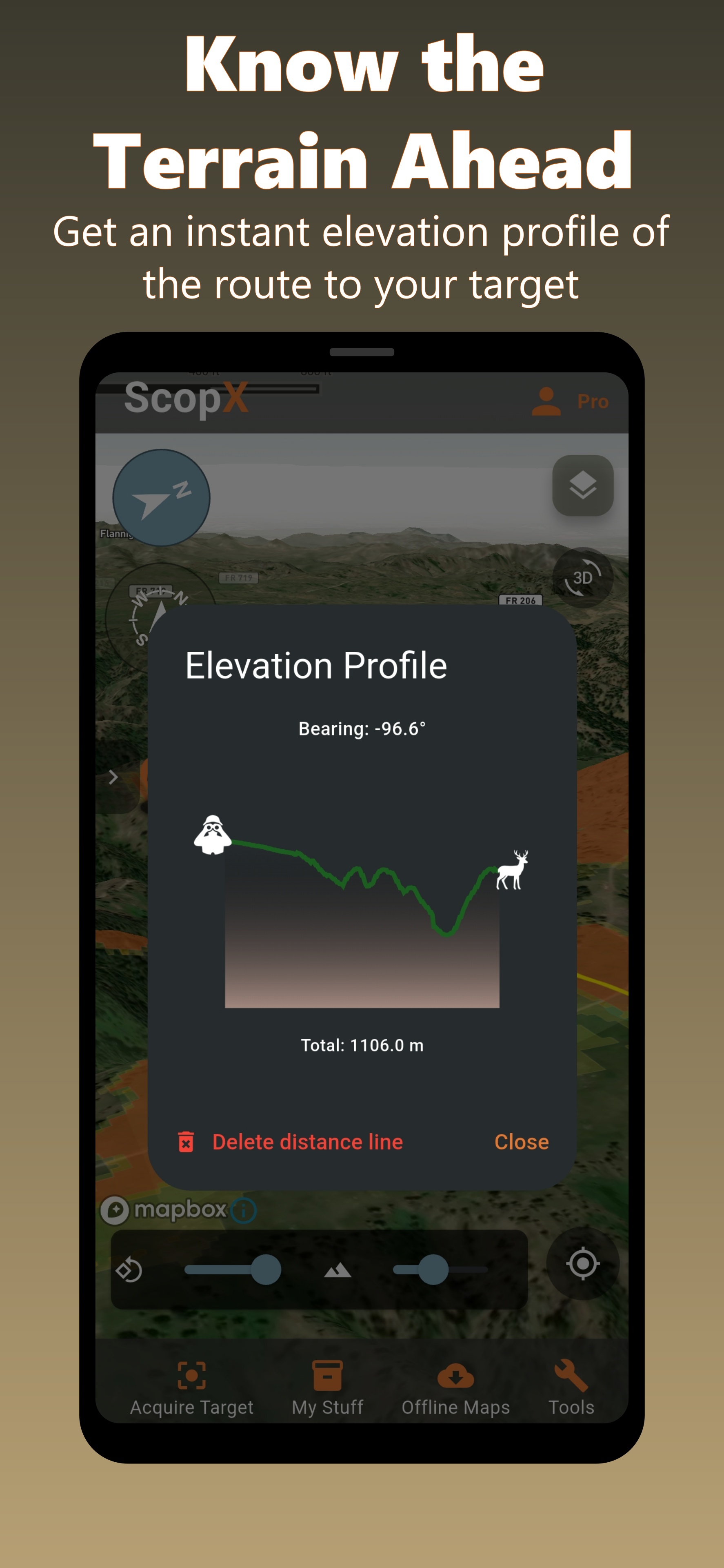
Compare distance, terrain, visibility, and wind as you choose an approach.
Cache imagery and elevation data for country where service drops out.
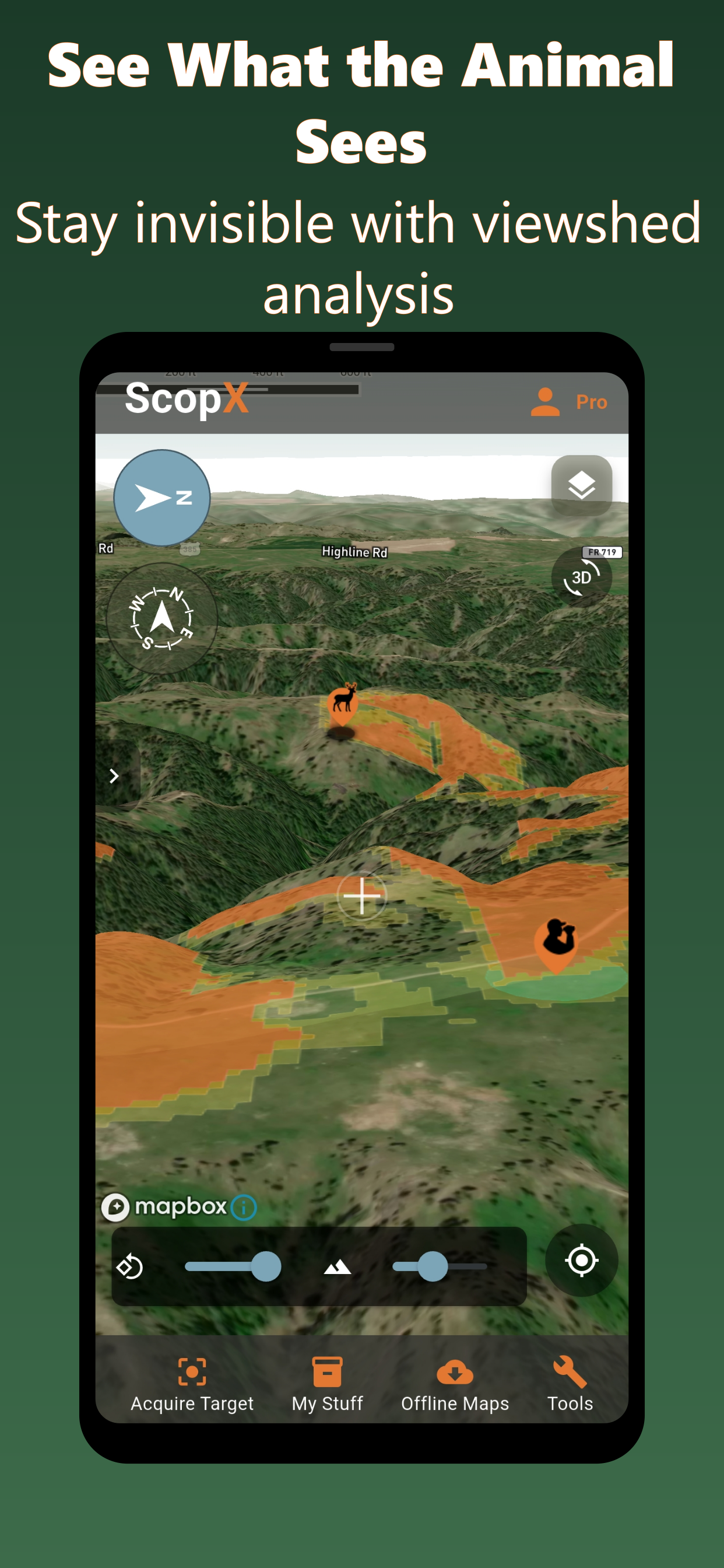
Viewshed analysis
Orange sight zones highlight exposed terrain. Use the gaps, draws, and folds in the land to pick a quieter line.
App screens
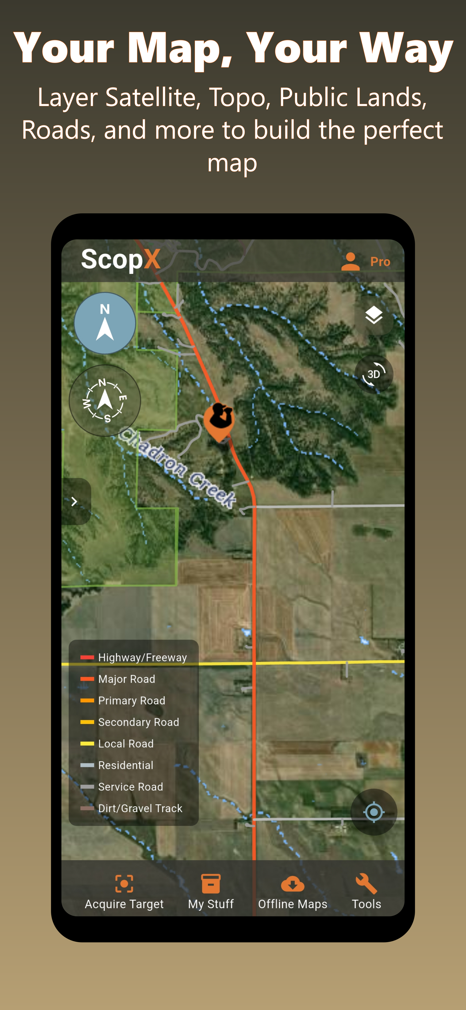
Ready for the next ridge
Questions, bug reports, and feature requests go straight to the team.